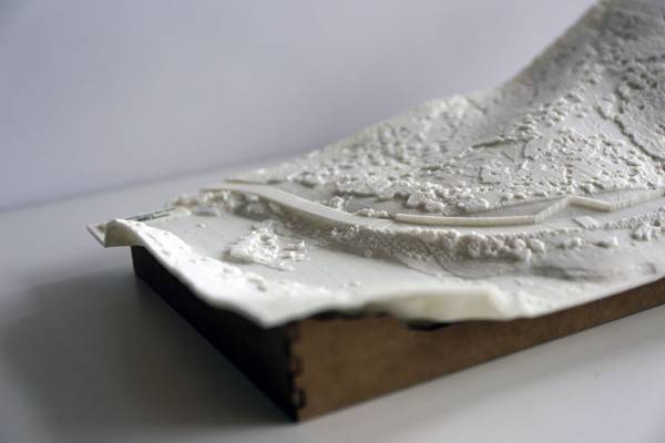
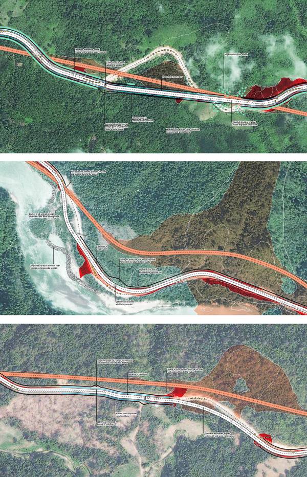
Kelly, A. S., Tang D., Helsingen H., & Baghabhati N. (2015). Modelling infrastructure scenarios in data-poor regions: Land change, mitigation strategies, and 3D-printed landscapes. Exhibited at Fuller Symposium 2015, Wired in the Wild: Can technology save the planet? National Geographic, Washington DC.
A series of 3D-printed surface models detail design solutions for mitigating impacts of new road infrastructure on wildlife habitat and ecosystem services in southern Myanmar. More methodology than pure technology, these models facilitate dialogue on possible futures and exhibit the increasing levels of detail and narrative achievable with innovative approaches to site design in places that otherwise lack specific data and resolution. A fully automated process takes low-resolution site data, plus assumptions about hydrology, rough land cover delineated from aerials (not multi-spectral), and designed road elements and wildlife mitigation measures, to fabricate much higher-resolution site models than available data permits. Because of the complexity of the surface produced, production is also automated to reduce printer material waste and account for necessary tolerances when working with plant-derived plastics. These are on display in WWF's Yangon office and have been used in stakeholder meetings, including with the Dawei SEZ and road link developer in Bangkok.

Posted by: Ashley Scott Kelly (Design for Conservation)


